When is the best time to hike in Hokkaido? If you ask other travellers or browse online forums, you’ll find the answers to be consistently inconsistent.
When is the best time to hike in Hokkaido?
Activity Guide
By Zac

Skiers and snowboarders will tell you there is no better time to hike in Hokkaido than winter, while fans of flowers and foliage will tell you that early Summer is the best time to take to the trails. Hokkaido’s location at the northern tip of Japan (closer to Russia than it is to Tokyo!) gives it a much milder climate than mainland Honshu in the summer, but in return brings with it some of the longest, harshest winters in Japan. In parts of Hokkaido, winter temperatures of -30°C coupled with heavy snowfall aren’t uncommon. But as you’ll find out, Hokkaido is a big place.
Across this northern island, seasons change at different times and given its size and the number of distinct regions in Hokkaido, the best place to hike could be hundreds of kilometres apart each month!
Spring #
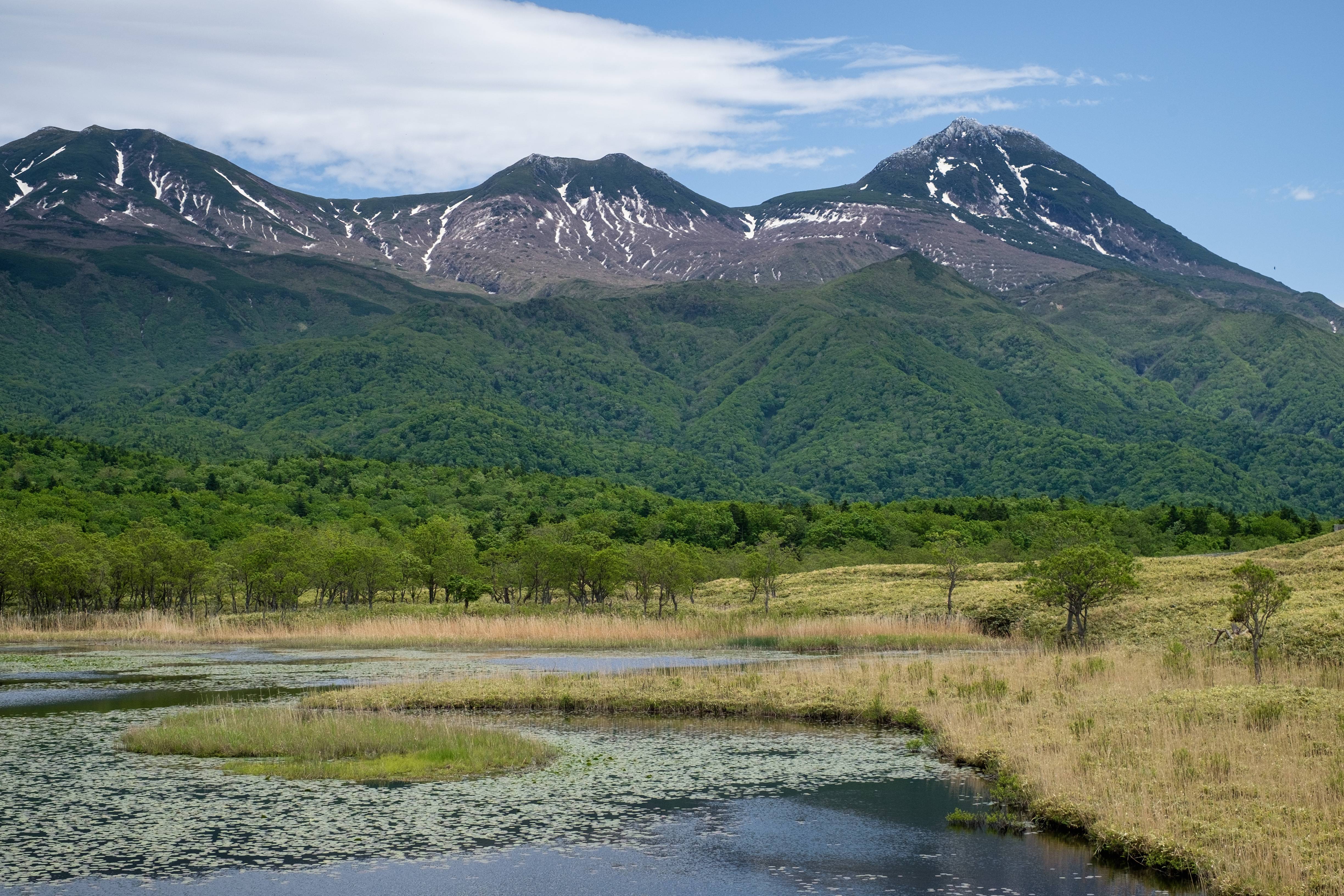
“When does Spring start in Hokkaido?” is a question we get asked a lot, but it’s also the hardest one to answer.
While the thaw comes to urban areas in March, occasional snowfall and below-freezing temperatures in the mornings are a reminder that true Spring is still a ways away. Come April, nearly all mountains in Hokkaido will still have snow to some extent on the trails. However, many of the smaller mountains around Sapporo and Hakodate will start to show the first signs of Spring.
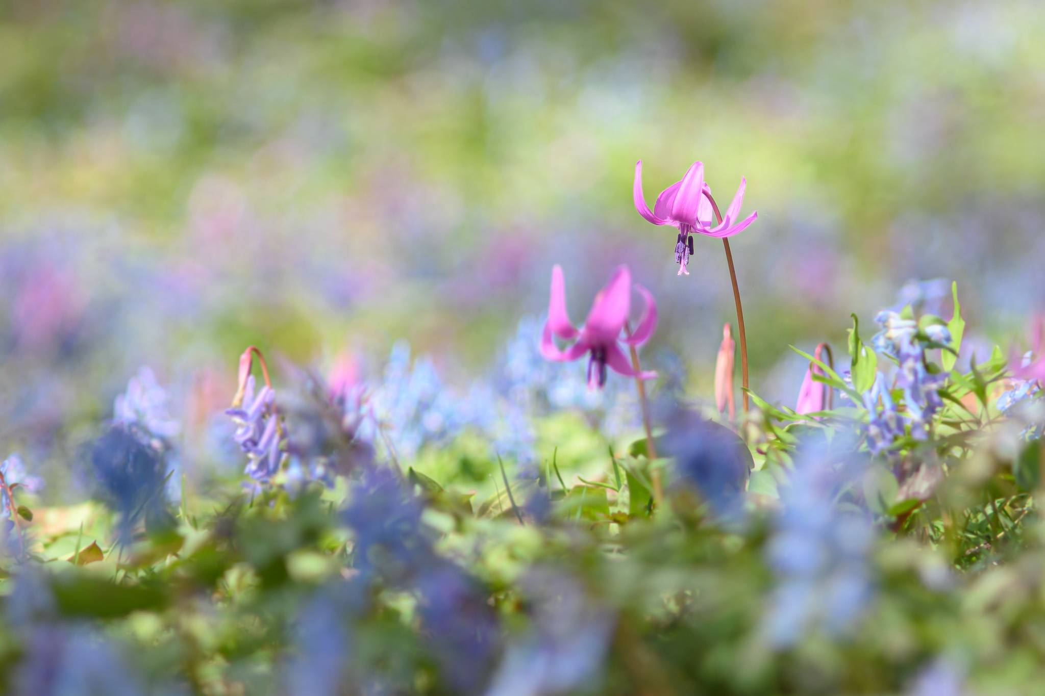
You’ll find banks along the roadside lined with colourful ephemeral flowers, like Dog-tooth Violet and Corydalis ambigua (known as Katakuri and Ezoengosaku in Japanese respectively). Locals begin taking to the mountains to gather mountain vegetables like Butterbur sprouts (Fukinotou) and Alpine Leek (Gyoja ninniku).
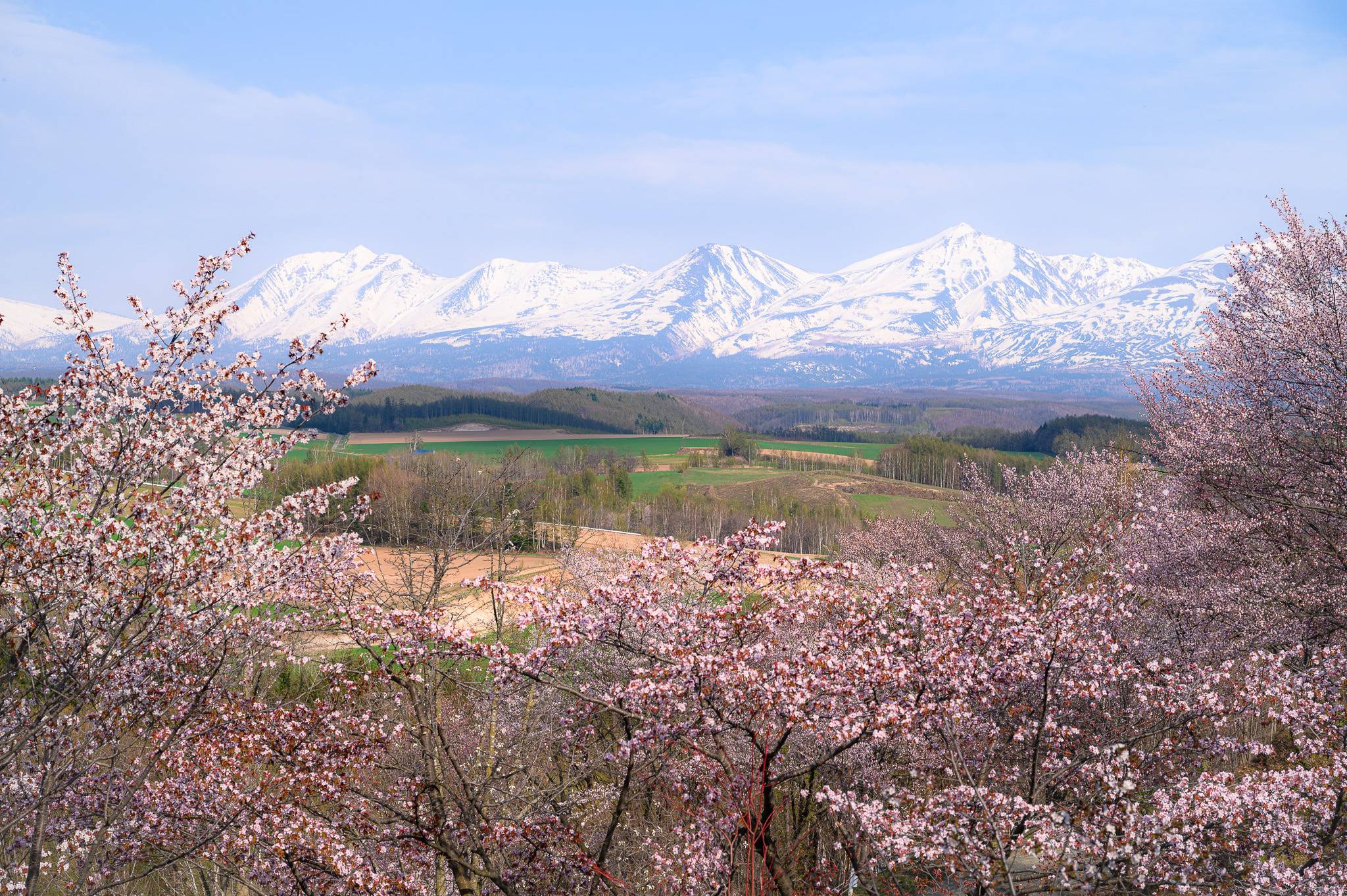
In Early-to-mid April, the cherry blossoms begin to bloom around Hakodate on the southern tip of Hokkaido, with the cherry blossoms in and around Sapporo blooming shortly thereafter. Hokkaido’s northern and eastern regions don’t see cherry blossoms until early May, making them the last places in the country to see cherry blossoms for the entire year. While much of Hokkaido springs to life by this time of year, most roads leading to the trailheads of Hokkaido’s mountains are still buried in snow and remain closed, limiting options for hikers.
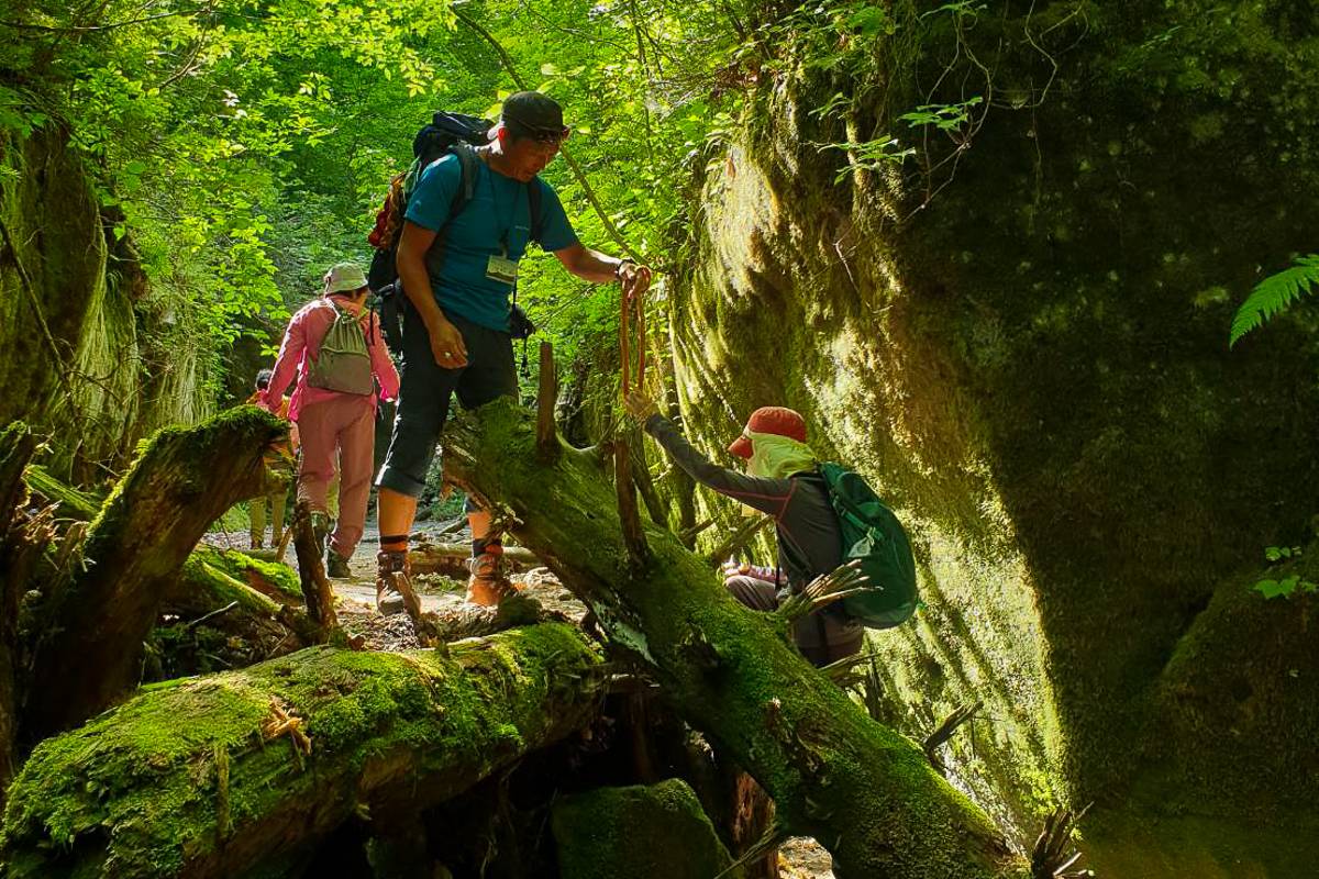
Warming up much earlier than most of Hokkaido, Shikotsu-Toya National Park near Sapporo offers the most options for outdoor enthusiasts in April and May. While the road to Mt. Tarumae (arguably the National Park’s most famous peak) is still under the snow and still a few months away from opening, many of the park’s other treasures are getting their first coat of green for the year. The Moss Corridor (Koke no Kairou) at Lake Shikotsu is an enchanting hike that takes you through a moss-filled crevice.
Further away in Lake Toya, the footpath to the Konpira Crater (Konpira Kakou) opens up in late April, offering a chance to witness the sheer power volcanoes have to both create and destroy. This footpath takes you past the ruins of public housing and communal hot springs destroyed in the eruption of Mt. Usu in 2000. The trail ends at the small, secluded Konpira Crater before looping back around to the parking lot.
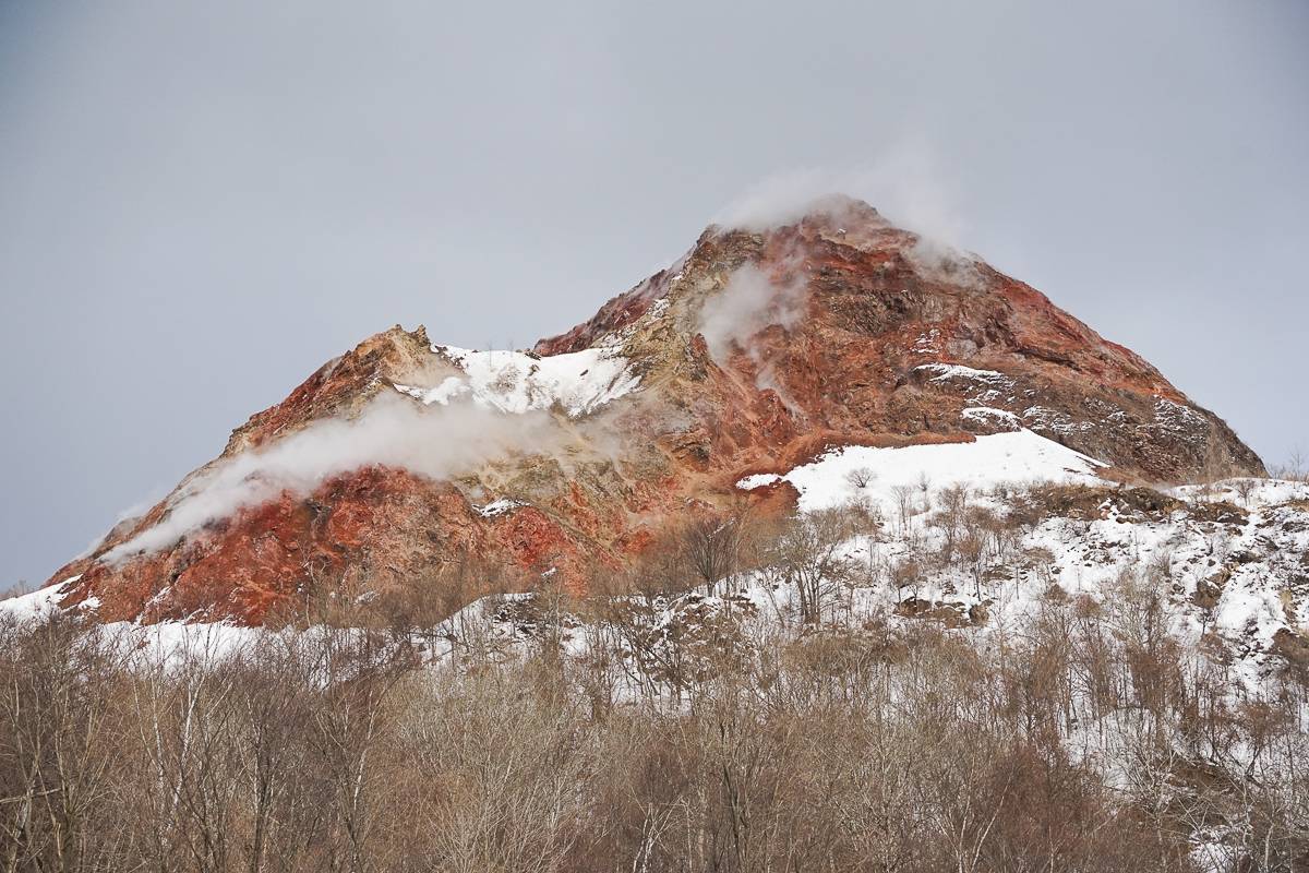
If you’d like to get even more up close and personal with an active volcano, the walkway along the crater rim of the aforementioned Mt. Usu opens for hiking in May, making trekking to the lookout point on the far side of the mountain possible. The well-maintained walkway offers an amazing view into the crater of one of Hokkaido’s most active volcanoes, but be prepared to make the round-trip trek across over a whopping 600 stairs! For a stair-free alternative to Mt. Usu, consider taking the ferry across to Nakajima Island in the centre of Lake Toya instead. The ferry operates year-round but only stops on the island of Nakajima from the last week of April until the end of October. Aside from a well-maintained trail and a few buildings (including a small museum), Nakajima remains relatively untouched by human hands, making it a floating oasis in the middle of the caldera lake. The full 7.6km hike around the island takes roughly 3 hours and has very little elevation gain, making it a great outing for families and budding hikers.
May is also the best month to make your way to the northernmost region of Hokkaido (and by extension Japan), Rebun Island. This remote island is home to rolling green hills and spectacular cliffs that show their best colours in late May when the wildflowers begin to bloom. The island is home to a number of off-the-beaten-path trails, from the relatively short Momo-Iwa trail on the southern tip of the island to longer, full-day hikes like the Misaki Meguri trail, which takes you across a number of diverse capes along the northern tip of the island. Be warned that Rebun Island is home to notoriously strong wind and May can still be fairly chilly!
Summer #
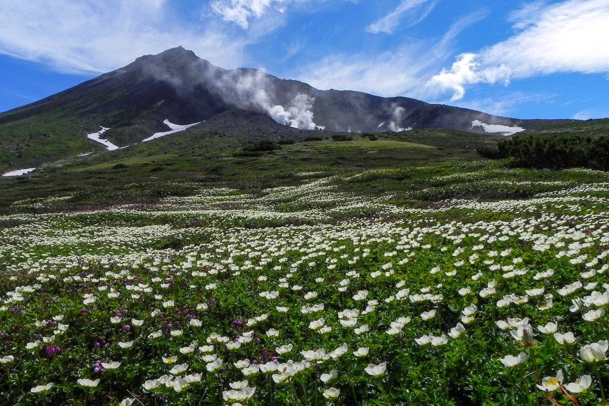
June, July and August offer a short period where many trails in Hokkaido will be free of snow (but not all of them!) This makes it the perfect season to tackle the higher peaks on the island.
In most parts of Hokkaido, June still brings with it slightly chilly mornings and evenings, with mid-day temperatures climbing above 25°C. Hokkaido does not have a rainy season, so while June-July can bring rain, Hokkaido tends to have much less rainfall than the rest of Japan on average. July brings the first wave of truly hot weather across Hokkaido and due to the impact of climate change it’s not not unusual for temperatures to exceed 30°C mark. Compared to other parts of Japan, summers in Hokkaido are not as humid, but they are still hot and humid enough to bring with them many horse flies and gnats (known as Abu and Buyo respectively in Japanese).
The temperatures of July carry over well into August and as typhoons start to work their way up through Japan, Hokkaido will start to see occasional strong winds and rain as a result of typhoon fallout.
June is a great season to make the trip to Akan-Mashu National Park to climb the 1499m tall Mt. Meakan, one of the 100 Famous Mountains of Japan. Mt. Meakan is the highest of the 10 summits in the Akan Volcanic Complex, home to massive volcanic craters and barren peaks. On a quiet day with no wind, you can hear the constant hissing from the geothermal vents in Mt. Meakan’s craters, making it an eerily beautiful mountain. The view of Lake Akan from the summit is fantastic as well. One of the reasons why hiking in June is such a pleasure here is because it is a great time to see a plethora of wildflowers, some of which are named after the mountain, such as Meakan-Kinbai (Potentilla miyabei) and Meakan-Fusuma (Arenaria merckioides var. merckioides), a white, star-shaped flower that grows from the cracks and crags of the crumbling mountainside.
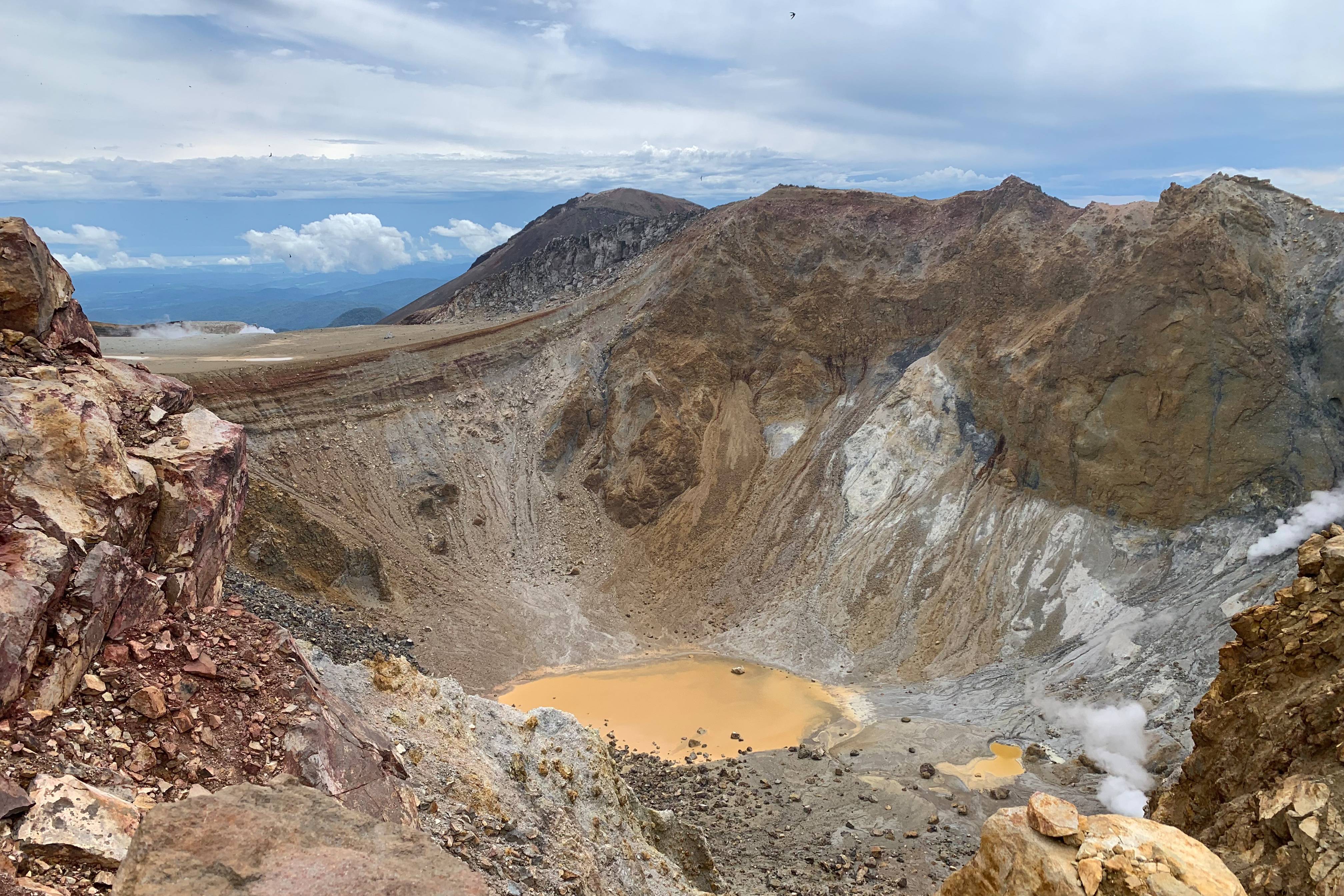
As July’s heat sets in, us locals head up high in the Daisetsuzan Mountains in search of cooler conditions. Mt. Furano, located just a stone’s throw away from Furano and accessible by public transport, is beloved by locals and tourists alike. Mt. Furano stands at 1912m tall, but the trailhead at Tokachidake Onsen already sits at 1280m, cutting the elevation gain down to a manageable 632m climb. Throughout the hike, the scenery changes drastically as you make your way past the rocky Ansei Crater and up to the ridgeline soaked in lush, green foliage and dotted with countless wildflowers, which people from all over the country come to see. Even if flowers aren’t your forte, you’ll still find something on Mt. Furano that catches your gaze, whether it’s the impressive ridgeline leading up to Mt. Tokachi, or the sweeping panorama of the Furano Basin.
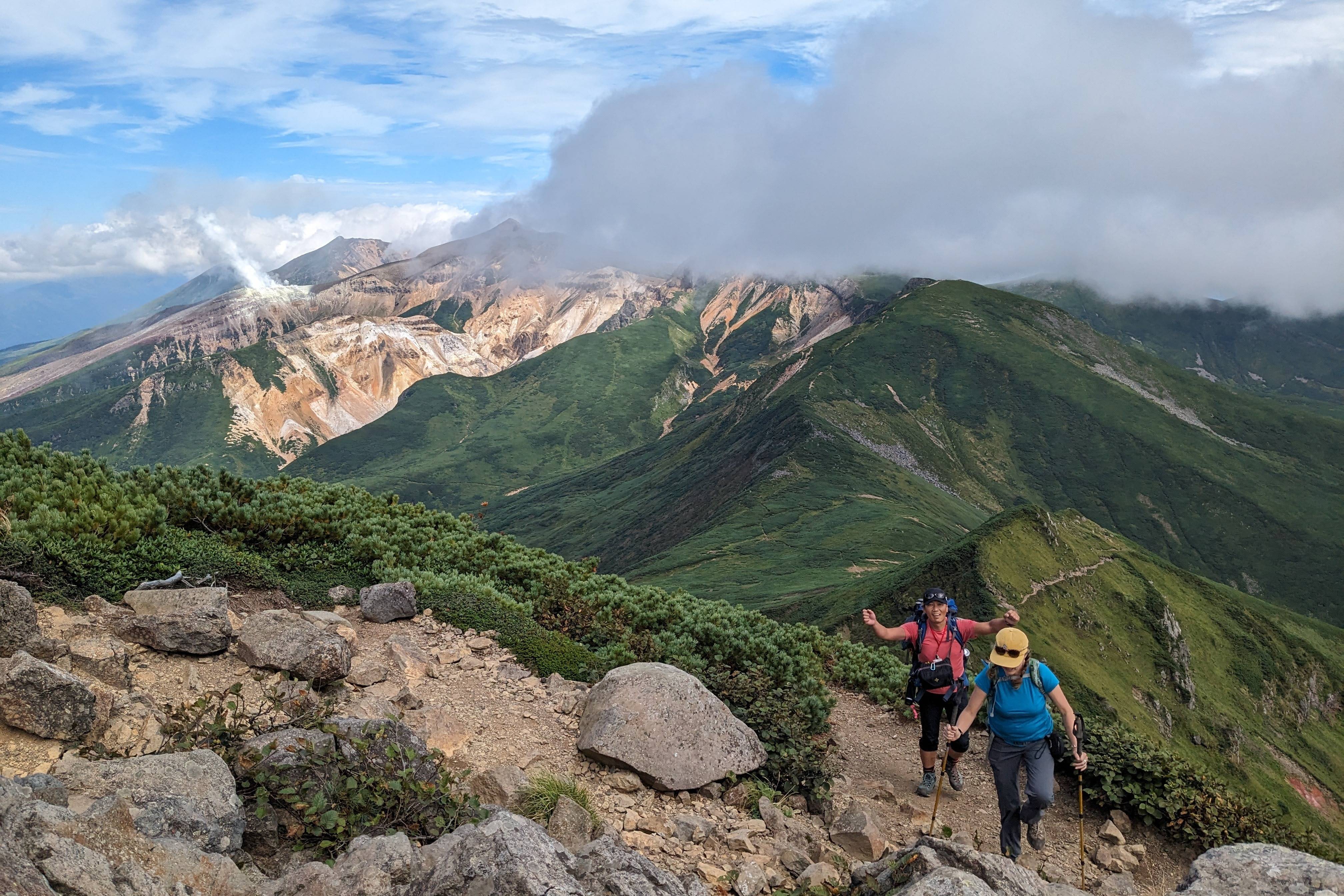
In August, we recommend heading to the northern tip of Daisetsuzan National Park to hike around the Ohachidaira Caldera. The hike starts from the Asahidake Ropeway, a short drive from central Asahikawa, and takes you up to 1600m above sea level, from where you’ll start your hike by tackling the highest mountain in Hokkaido: Mt. Asahidake. From the summit, you’ll work your way down to the massive Ohachidaira Caldera, formed 30,000 years ago and spanning over two kilometres. You’ll hike around the crater rim to reach the Kurodake Ropeway which will take you down to Sounkyo Onsen. The trek is a long one best suited for August, where the days are long and the ropeways start early and end late. Even though you may still see snow on some parts of the mountain in Summer, August is one of the few months where the trails themselves will be entirely snow free, and with the majority of the snow long since melted, stream crossings become easier as well.
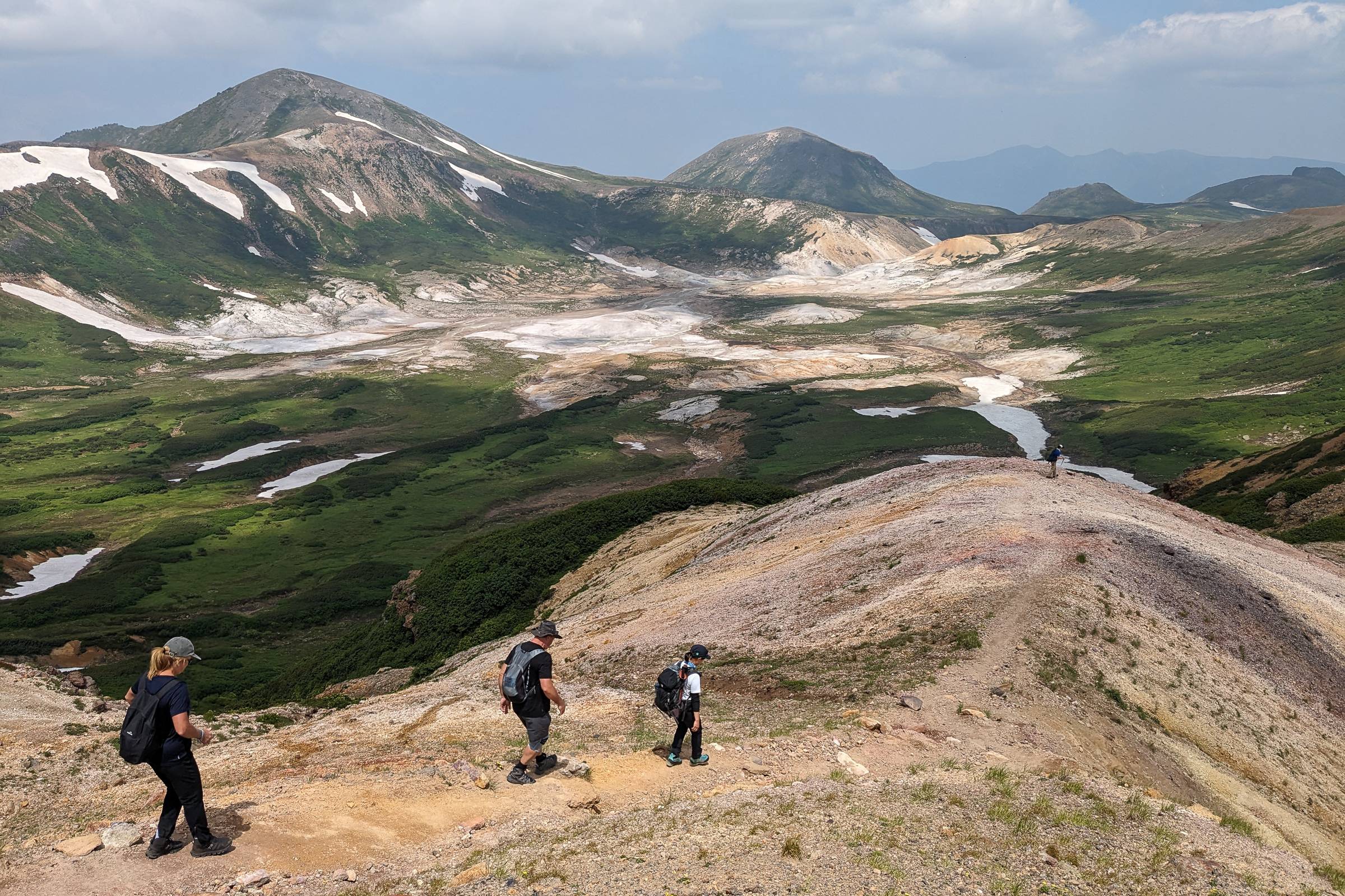
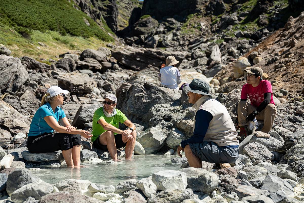
If your legs aren’t up to a full circuit however, you can descend from the Asahidake summit via Nakadake Onsen, an open-air hot spring nestled in a volcanic valley. It’s a great place to dip your tired feet and chat (and share snacks) with other hikers. The loop route takes you back to the ropeway via the lovely Susoaidaira Plain and the popular Sugatami Pond loop walk. If the weather isn’t looking quite up to the summit hike, you can head directly to Nakadake Onsen via the Susoaidaira route and return along the same way you came. Either route is a fantastic day hike that shouldn’t take you much longer than 6-7 hours.
Autumn #
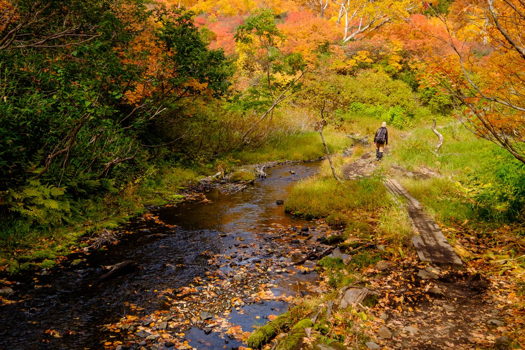
As summer comes to a close, the effects of typhoons, low-pressure systems and the Autumn rain front bring with it rainy and uncertain weather in Hokkaido. From the end of August well into September, rain and wind make it more challenging for hikers to enjoy the last of the warm weather for the year. It’s around late September that many of Hokkaido’s major peaks get their first dusting of snow as well as their golden-red leaves. Come October, the weather starts to stabilize, but the temperatures start to dip – particularly at altitude. As November begins, the first signs of winter appear, bringing an end to Hokkaido’s green season for the year.
September brings with it the first wave of autumn foliage in Hokkaido, Daisetsuzan being the first place to see autumn colours both regionally and across all Japan! Most of the major peaks around Daisetsuzan become over-crowded during the fall foliage season and with good reason… it’s beautiful! However, Mt. Sandan, located in the Tokachi Mountains on the southern tip of Daisetsuzan, offers fantastic views of the fall foliage without the crowds you’ll find in other parts of the national park. This mountain is beloved by back-country skiers in the winter and is a fairly easy hike from Tokachidake Onsen (the same trailhead as Mt. Furano). After your hike, check out Fukiage Onsen, a natural open-air hot spring near the start of the trailhead.
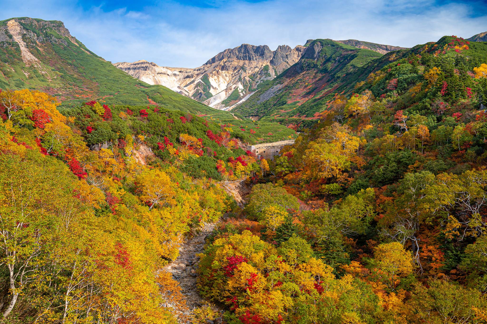
As October rolls around, many mountains in Hokkaido experience autumn foliage and first snowfall around the same time, making for some very unique scenery. In early October we recommend making the journey up north to the island of Rishiri to climb one of Japan’s northernmost mountains – Mt. Rishiri. The island of Rishiri is known for its uncharacteristically warm autumn, thanks to the island lying along the warm Kuroshio ocean current.
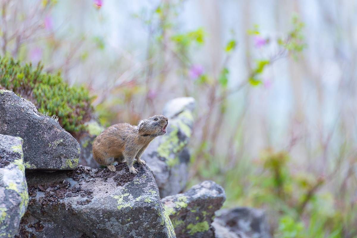
Alternatively, the mountains surrounding Lake Shikaribetsu, an hour’s drive from Obihiro, are a great place to visit in October. There are a number of peaks surrounding the lake, but the most popular is Mt. Hakuunzan, a rocky peak lying on the southern tip of the lake. The incline from the parking lot to the summit is gentle, and along the way, you may have a chance to see Northern Pikas, an adorable hamster-sized mammal found in parts of Daisetsuzan National Park. From the summit, you can follow the trail out to Lake Shinonome before following the coast of Lake Shikaribetsu back to the parking lot.
Winter #
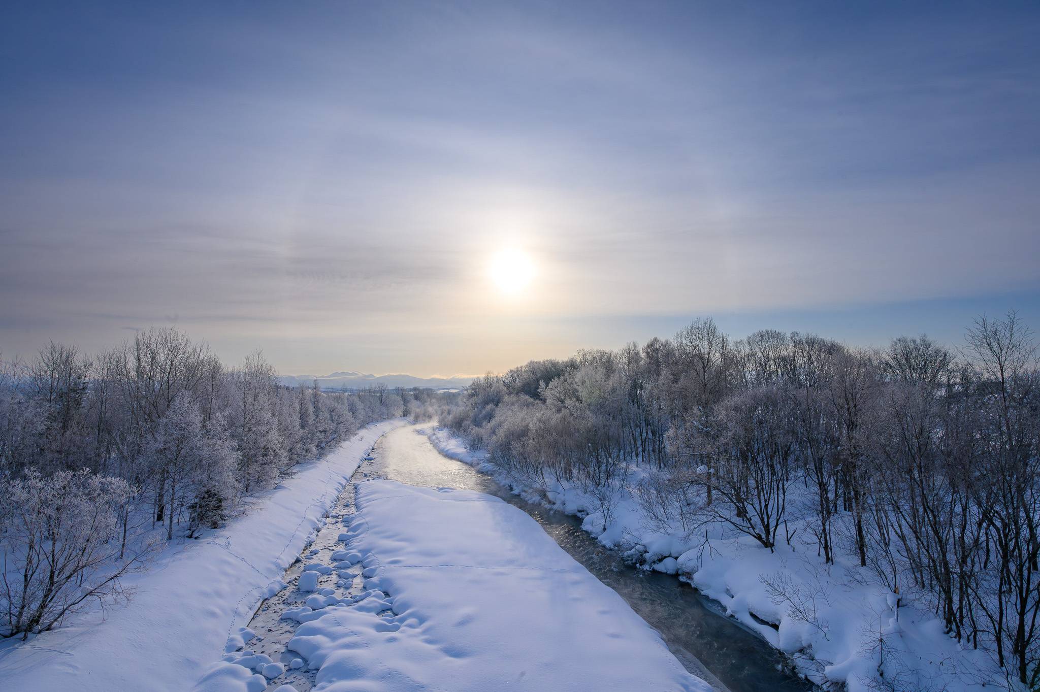
By the end of October, the days get shorter and the temperature colder, heralding Hokkaido’s approaching winter.
Snow begins to fall around the start of December, melting and falling again before finally settling around mid-December. From the end of December to the beginning of March, the weather across Hokkaido remains consistently cold and snowy, with blizzards and white-out conditions not uncommon. That being said, some parts of Hokkaido are milder than others, such as Hakodate, which sees much warmer winters compared to areas like Asahikawa, Biei and Furano where temperatures can sink as low as -30°C. The cold, snowy weather is what draws many international and domestic travellers to Hokkaido every year, but it also becomes the biggest thing outdoor adventurers need to consider before visiting Hokkaido. The snowy conditions also make for dangerous conditions, and many of Hokkaido’s most famous peaks become out of bounds to those without the relevant winter climbing experience. Access to many trailheads is marred by closed-off roads. Luckily, there are a number of places across Hokkaido to put on a pair of snowshoes and enjoy the snow-covered forests and flatter trails!
When it comes to hiking in November… We’ll be honest. It’s best to stay off the mountains. By November the fall foliage has ended at altitude and inconsistent temperatures cause some trails to go from slippery and icy to muddy over the course of a single day. For this reason, we recommend enjoying some of the beautiful parks in and around Sapporo in early November such as the Nopporo Forest Park, a 2,053-hectare forest spanning 3 municipalities. The park offers a whole day’s worth of things to enjoy, from a plethora of walking paths to the nearby Hokkaido Historical Village, allowing you to get a feel for both Hokkaido’s history and nature on the same day. Nearby Nopporo Forest Park lies the photogenic Moerenuma Park, planned by world-renowned sculptor Isamu Noguchi and created atop a landfill as part of a project to create a chain of green spaces around Sapporo. The park is home to Mt. Moere, a 62m man-made hill with a view of Central Sapporo and its surrounding mountains.
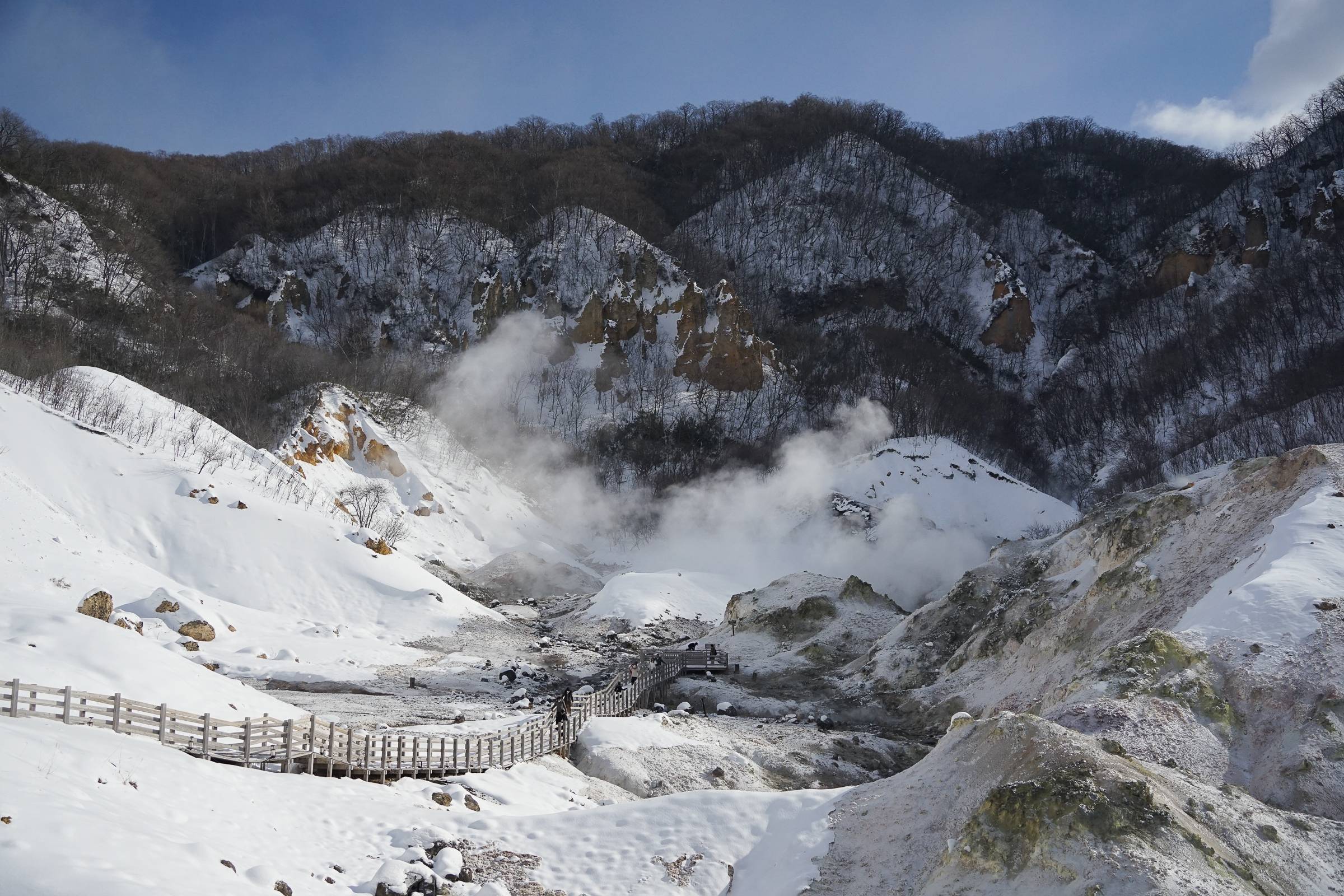
By mid-December, most areas of Hokkaido have gotten their first blanket of snow for the year and temperatures start to stay consistently close to or below zero. Similar to November, we recommend sticking close to Sapporo and visiting more accessible outdoor locations at this time of year, such as Noboribetsu. Noboribetsu is one of Hokkaido’s most famous hot spring towns and is a part of the much larger Shikotsu-Toya National Park. As a hot-spring town, Noboribetsu’s claim to fame is that you can soak in 9 of the 10 types of hot spring waters in Japan. But for outdoor enthusiasts, the biggest draw is the barren ‘Hell Valley’, or Jigokudani. The Hell Valley is a volcanic crater covered in sulphur-stained rocks spewing out volcanic fumes. You can walk through the valley via a well-maintained wooden walkway. As the snow begins to pile up, some portions of the walkway close for the season, but the main walkway through the valley remains open year-round. We recommend Noboribetsu in December as the contrast of snow and geothermal vents is absolutely magical and combined with a night at a hot spring, makes for the perfect early-winter getaway.
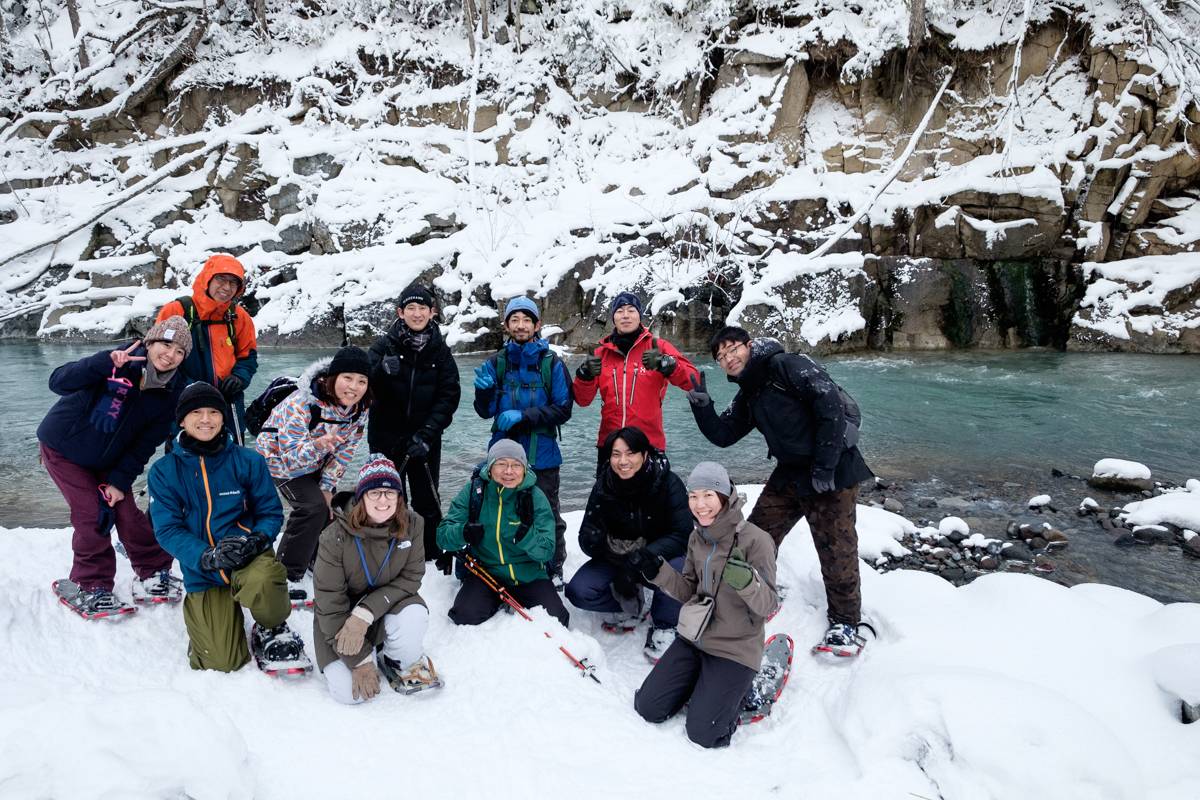
Once the snow has piled up enough in January, it’s time to pop on a pair of snowshoes (as well as a whole bunch of layers!) and enjoy everything Hokkaido’s winter has to offer. We recommend heading to Lake Shikotsu, close to the aforementioned Noboribetsu as well as Central Sapporo, to climb Mt. Monbetsu. Mt. Monbetsu is an 866m peak on the Eastern edge of the lake, which on a clear day offers one of the best panoramas of Lake Shikotsu and its surrounding volcanoes- Mt. Eniwa and Mt. Tarumae. The mountain is a popular snowshoeing destination for locals as the trail follows a snowed-over road most of the way to the summit, home to a radio relay station.
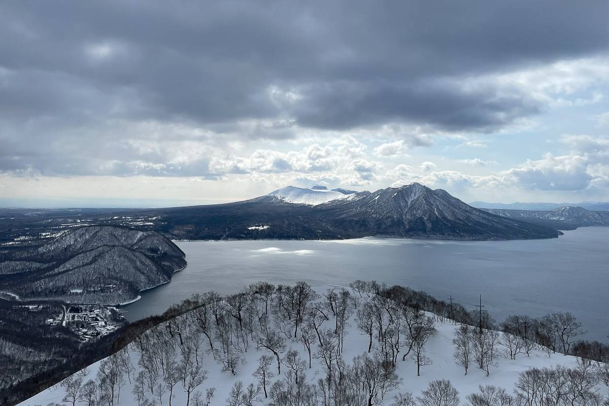
In February we recommend heading east for some snowshoeing in Akan-Mashu National Park, in particular a trek around the Mashu Crater Rim. Starting at the #1 Observatory near the summit, you’ll follow the road to the #3 Observatory, similar to the aforementioned Mt. Monbetsu. The road is closed to cars in winter, making it an easily navigable trail for those looking to snowshoe. Weather permitting, you’ll be greeted with a view of the massive Kussharo Caldera, home to Lake Kussharo and Mt. Io in the distance. After hiking out to the #3 Observatory and back, consider heading down towards Mt. Io to walk at the foot of a fuming volcano as well.

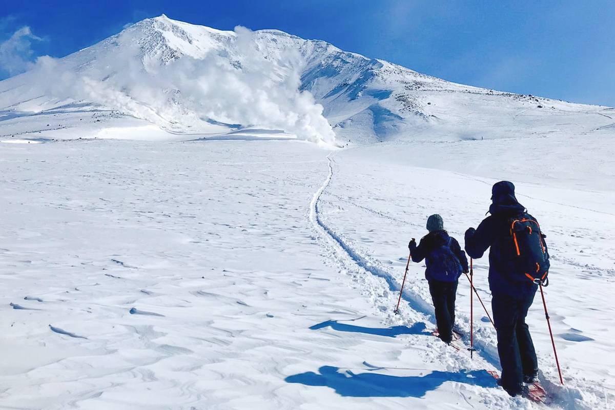
Come March, many of the smaller mountains in central and southern Hokkaido are slowly but surely starting to thaw, but “the roof of Hokkaido”, Mt. Asahidake, is still months away from sticking her face out of the snow, making it the perfect place to round out the snowshoeing season. The Asahidake ropeway will take you as far as 1600m, where you can trek out to the geothermal vents of Hokkaido’s highest peak. In Summer you aren’t allowed to veer from the trails, however, in the winter the base of the mountain is free to explore! That being said, trekking around the roof of Hokkaido in Winter comes with many challenges, the biggest being that the trail is unmarked (on account of it being buried)! On a nice day it is easy enough, but if the weather turns then finding your way back to the ropeway station in a sea of white is challenging even for those with winter mountaineering experience. As such, we only recommend hiring a local guide unless you have experience in the mountains.
Whatever the season, Hokkaido has you covered!
Hokkaido offers something for everyone every month of the year, but choosing where to hike and when to hike can be a challenge in and of itself. Luckily that’s what we’re here for! We’ve crafted our tours to make the most of Hokkaido year-round, with knowledgeable, local guides handling the hard parts of trip planning so you don’t have to! If you want to explore Japan’s great, white north but outdated online info and Japanese trail maps leave you scratching your head, consider booking a tour with Adventure Hokkaido. We look forward to having you!
Ready to hit the trail?
Experience the best of Hokkaido's hiking on our hiking tours.